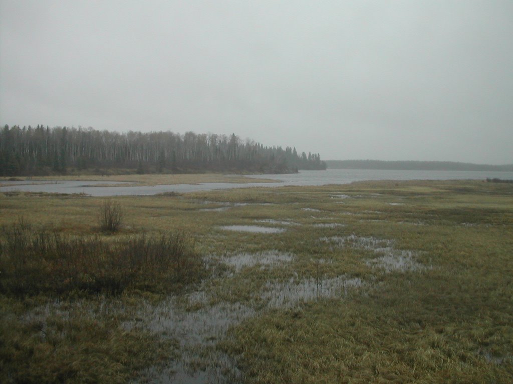
 If I haven't explained it enough already, don't be fooled into thinking that the 'Hudson Bay' is a scenic train. This is a long, slow, drag. The timetable suggests that it will last thirty-six hours, but I've already been told to expect a few more on that. The seasonal thawing of the ground and the track bed of our railway line has already started to slow our progress, and we are frequently travelling at about 40 km/h for long periods of time. You have to be an alternative traveller to appreciate this one, especially at this time of year, when Churchill's natural attractions aren't easy to observe.
I have plenty of reading material with me, and of course a good map. I've invested the princely sum of C$4.75 in Rand McNally's 1:1,250,000 scale provincial map of Manitoba. It costs the same as every other provincial map in the series, although they've had to use significantly less ink in this one than some other provinces. With the exception of the gentle curve that we made through a slice of Saskatchewan, our rail line is clearly marked for the whole of it's route. Using the standardised system of symbols, every community with a population of less than 1,000 is marked with a small white circle. Which means that many of the train's request stops along the railway line are marked as having a 'Population under 1000'. In many instances, however, these stops are hard enough to even notice. Named by the crews who built the line, many are just flag stops, marked by small yellow metal triangles on posts beside the track. Even at 40 km/h, if you blink you will miss them.
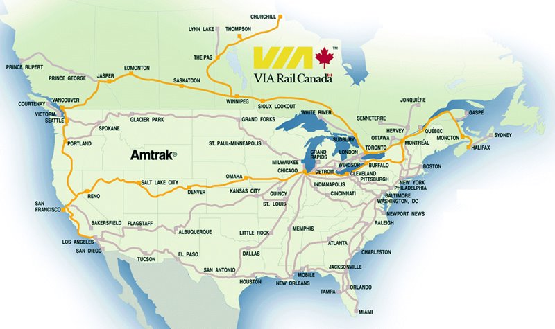
 Take a look at the 'Hudson Bay' train's timetable here to get a feel for some of the exotic names applied to isolated flag stops. Many have no immediate population near-by. Some might be used occasionally by native communities who live within 20 or 30km, but in most cases their only purpose would be for hikers or kayakers who want to access some of the remoter regions of the province. Even then, it's not exactly obligatory to get off at one of these flag stops: the 'Hudson Bay' is one of VIA Rail's services which will make a special stop to let you get off at any point along the train's route.
I dip in and out of my books, my newspapers and the map, tracking our slow progress towards Thompson, the last major town served by the train. We'll be making an extended stop there this evening to take on passengers and freight for subsequent halts and Churchill.
No comments:
Post a Comment